SenseNet employs five advanced forms of technologies to tackle wildfire. Our system can significantly improve communities' safety, protecting people and land from the catastrophic effects of fire.
Bridging the gap between nature and technology, our sensors are finely tuned to detect early signs of wildfires. By continuously monitoring the environment, they identify anomalies that can precede a fire outbreak.
SenseNet Approach
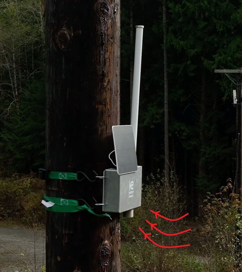
Environmental data is collected in real-time using a variety of highly sensitive sensors
Advanced AI algorithms analyze sensor data to pinpoint abnormal events and ensure swift responses in critical situations.
Customized alerts are sent to our users based on different sensor readings, making sure they get prompt and relevant warnings.
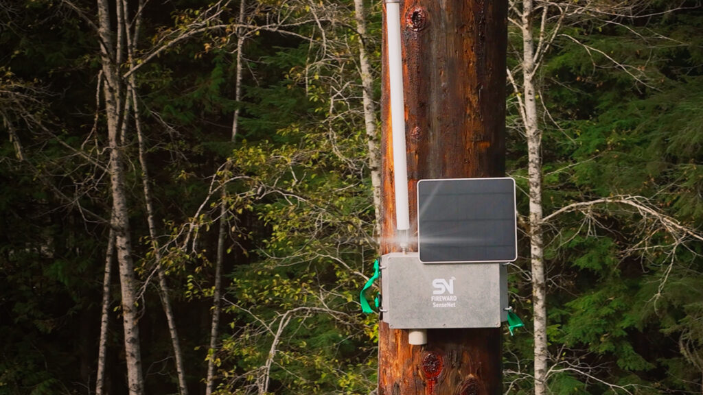
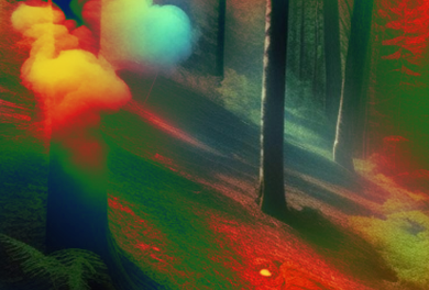
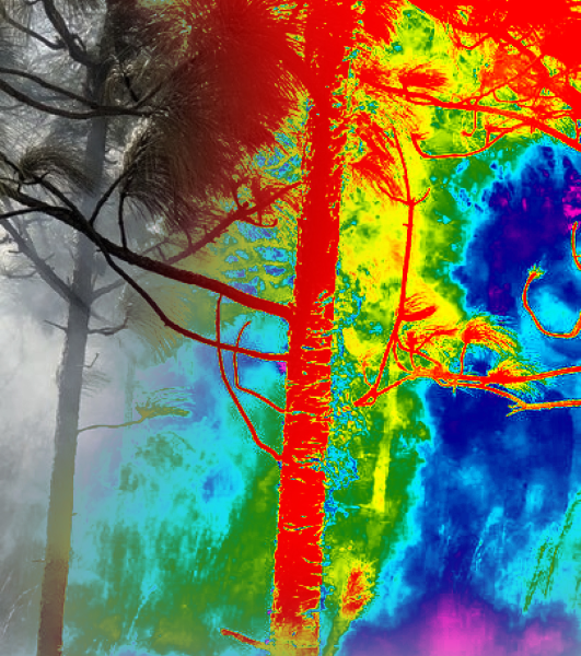
Sensor nodes have compact thermal sensors to take infrared images. Unlike regular cameras that rely on visible light, these sensors detect subtle heat differences, translating them into clear visuals to detect hot spots between the trees.
02
of 05
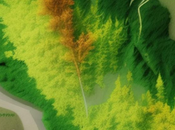
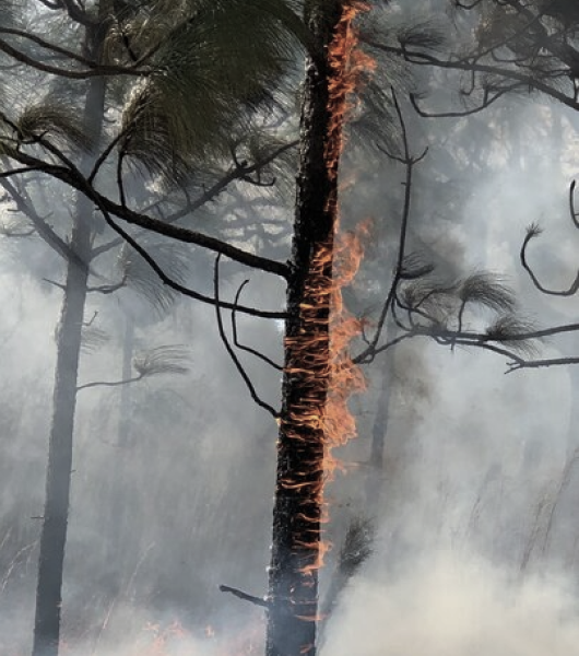
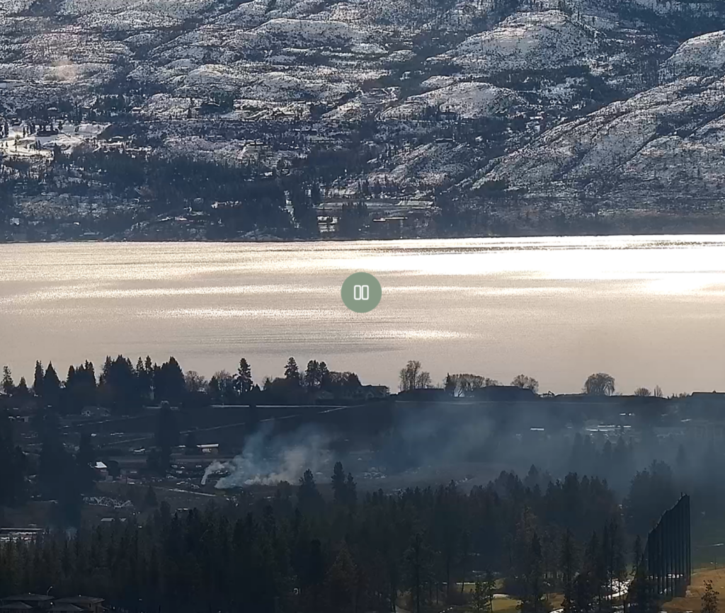
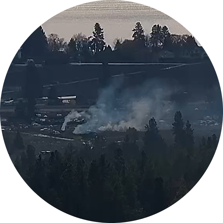
Fire Detection in Dense Forests
Utilizing thermal sensors, our system can detect even the smallest fires within dense forests. These sensors operate effectively both day and night, pinpointing warm areas that may pose a threat.
These cameras can see fires during the day and also efficient in identifying warm, potentially dangerous spots at night.
Revolutionizing Detection
The Power of Our Modular AI Engine
At the heart of our technology is our modular AI engine. It uses advanced deep learning algorithms to detect environmental irregularities, while reducing the chances of false or missed alerts.
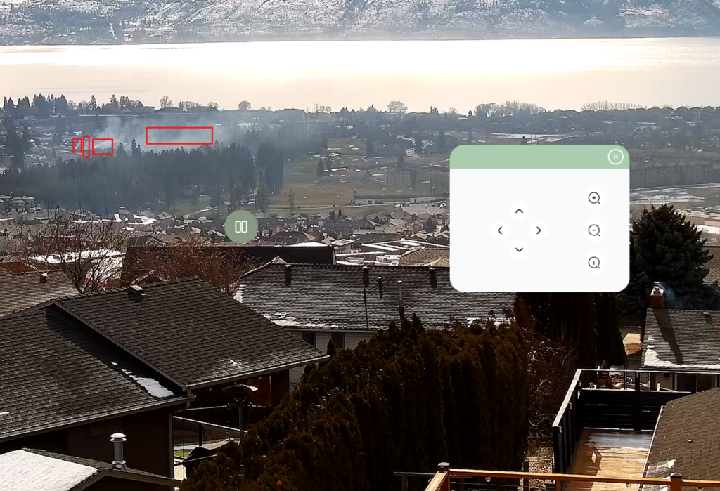
Our cameras are always on alert. When our sensors pick up anomalies, the cameras zoom in for a better view. Using AI, our system determines if the cause of the signal is regular forest activity, smoke from a campfire, or if it is early signs of a wildfire. This close-up view gives firefighters and land management professionals a clear picture of the situation, allowing them to decide courses of best action
Smoke detection from any distance
Smoke detection from any distance
04
of 05
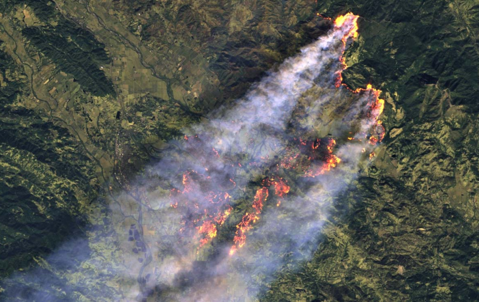
Satellite Image
Processing
Our integration with satellite imagery is about more than just a bird's-eye view. By capturing real-time images from wildfire zones, we can use our AI algorithm to determine fire behaviour. This information helps authorities develop effective management strategies
04
of 05
AI algorithm for satellite image analysis
AI obtains and analyzes data from a satellite image:
Smoke
Flame size
Burned area
Then, after analyzing the image, AI provides the following outputs:
Fire Area
3116 hectares
Fire Direction
North West
Fire Speed
5.7 mph
05
of 05
05
of 05
Weather and Environmental Data Integration
Harnessing the power of data, we pull from different sources to build an exclusive data lake for wildfire detection and management. This rich database offers unique insights pre-, during, and post-wildfire events. The result? Empowering authorities with efficient and data-driven strategies
Collect Real-Time Data
01
Active fires
02
Air quality information
03
FWI and fire risk indices
04
Rainfall and lightning information
05
Direction and speed of Wind, temperature and humidity
We gather live information on ongoing fires and continuously check the wind, temperature, and humidity that can significantly affect fire behaviour. Our system assesses fire danger levels and air quality, crucial for health protection and to provide early fire warnings to communities. We track rainfall and lightning data to understand weather patterns and predict potential fire outbreaks caused by lightning strikes. By harnessing this comprehensive data, we enhance situational awareness, empower decision-making, and, ultimately, strengthen our communities' resilience against wildfires